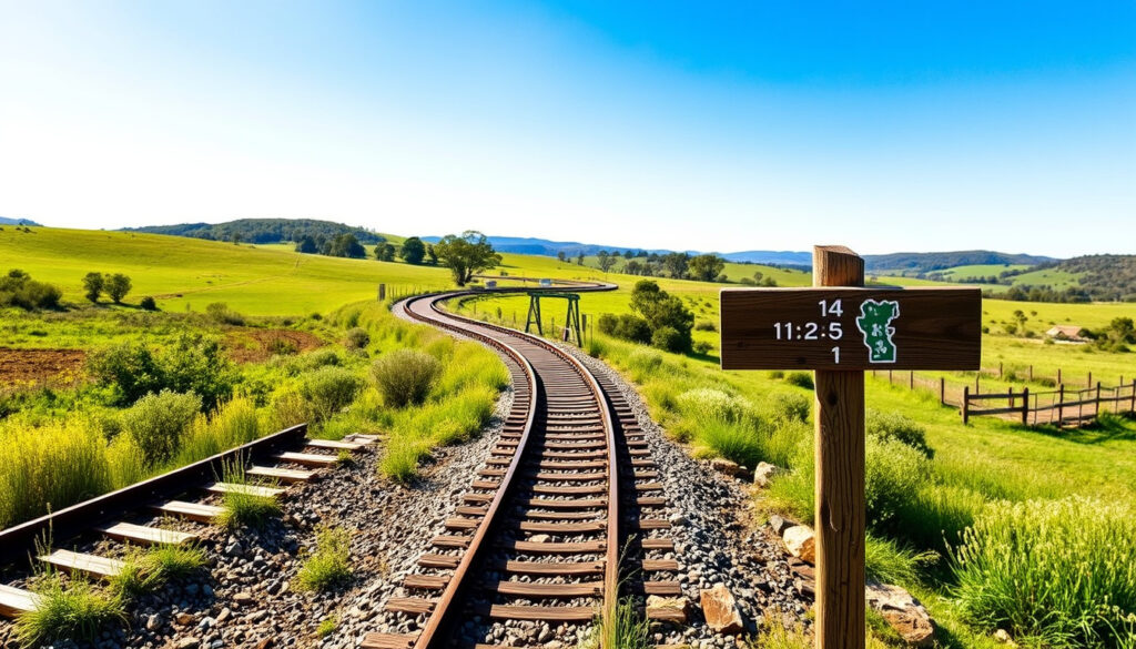
Brisbane Valley Rail Trail: Length, Difficulty, Map & Itinerary
There’s something special about following an old railway line through the Queensland countryside — past historic stations, rolling paddocks, and tiny towns that still know how to brew a good coffee. The Brisbane Valley Rail Trail offers exactly that, stretching 161 km from Ipswich to Blackbutt as Australia’s longest recreational rail trail, according to Experience Somerset (Somerset Regional Council).
Total Length: 161 km ·
Start Point: Wulkuraka Station, Ipswich ·
End Point: Blackbutt ·
Surface: Gravel and sealed sections ·
Elevation Gain: Approximately 1,100 m ·
Average Cycling Time: 2–3 days
Quick snapshot
- Trail length: 161 km (Experience Somerset) (Official BVRT website)
- Open to cyclists and walkers; dogs on leash welcome (Official BVRT website)
- North‑to‑south is the easier direction (downhill trend) (Official BVRT itinerary page) (Official BVRT website)
- Exact trail conditions after heavy rain — check local council or BVRT Facebook group
- Availability of water taps at all trailheads — may vary seasonally (BVRT Facebook group)
- Precise gradient profile — no single official elevation map is published (BVRT Facebook group)
- Shuttle service pricing varies by operator; confirm at booking (BVRT Facebook group)
- Trail open year‑round; no scheduled closures reported (Official BVRT website)
- Plan your trip using the itinerary, shuttle, and bike‑hire details below
- Book accommodation ahead in smaller towns, especially during school holidays
The table below distills the core stats — a pattern of gradual elevation gain across a mostly flat, gravel surface with key logistics for two wheels and two feet.
| Detail | Value |
|---|---|
| Total Length | 161 km |
| Start Point | Wulkuraka Station, Ipswich |
| End Point | Blackbutt |
| Surface | Gravel (90%) and sealed (10%) |
| Elevation Gain | ~1,100 m (south to north) |
| Typical Cycling Time | 2–3 days |
| Typical Walking Time | 4–5 days |
| Best Season | March to October |
The pattern from these figures: the trail is manageable for most fit riders, but the northern half demands more effort.
How long is the Brisbane Valley Rail Trail?
What are the distances between towns on the BVRT?
- The trail is 161 km long, making it Australia’s longest rail trail, according to Experience Somerset (Somerset Regional Council).
- Official distances between towns are published by Queensland Transport and Main Roads (state government authority). The trail is divided into 11 sections ranging from 7 km to 24 km.
How many kilometers from Fernvale to Esk?
- The distance from Fernvale to Esk is approximately 24 km, based on the section breakdown provided by Queensland Transport and Main Roads.
The implication: you can tailor your trip to any fitness level by mixing short and long days.
How difficult is the Brisbane Valley Rail Trail?
What is the trail surface like?
- The surface is predominantly gravel (90%) with some sealed segments, as reported by Queensland Transport and Main Roads.
- The official BVRT website describes it as “traffic‑free, no gates” and ideal for gravel bikes, mountain bikes, and e‑bikes (Official BVRT website).
What is the average gradient?
- The trail is mostly flat to undulating with a few steep sections near the northern end. Elevation gain is approximately 1,100 m from south to north (Official BVRT website).
- Suitable for moderate fitness levels; e‑bikes are a common choice for less experienced riders.
The trail’s gentle overall gradient and mixed surface make it accessible to most active riders. The catch: the northern half has steeper rollers and more remote sections — plan your fitness accordingly.
The pattern: if you can ride 40 km on gravel, you can handle this trail.
Where does the Brisbane Valley Rail Trail start and finish?
What towns does the trail pass through?
- The trail officially starts at Wulkuraka Station in Ipswich (south) and ends at Blackbutt (north), as confirmed by Queensland Transport and Main Roads.
- Key towns along the route: Fernvale, Lowood, Coominya, Esk, Toogoolawah, Moore, Linville, Benarkin, Blackbutt.
Is there a northern extension beyond Blackbutt?
- No official continuation beyond Blackbutt exists, but some riders continue on local roads to Yarraman. The official southern trailhead is at 163 Grace Street, Wulkuraka QLD 4305 (Queensland Transport and Main Roads trail map).
Knowing the exact trailheads lets you coordinate shuttle drop‑offs and car shuttles. The Wulkuraka start has parking, and the Blackbutt end is a small town with basic services. The implication: you’ll need to arrange transport between the two ends unless you ride an out‑and‑back.
What is the best section of the Brisbane Valley Rail Trail?
Why is the Fernvale to Lowood stretch popular?
- This section is often recommended for its gentle grades, river views, and proximity to services (Official BVRT website).
What makes the Esk to Toogoolawah section scenic?
- The Esk to Toogoolawah segment passes through rolling hills and the Brisbane River valley. Many cyclists enjoy the northern half for its remoteness and native bushland (Cyclist Bonnie, desirelinescc.com.au).
The catch: if you want solitude, head north; if you want cafes, stay south.
Can you walk the Brisbane Valley Rail Trail?
How many days does it take to walk the full trail?
- Yes, the trail is walkable; a full thru‑walk typically takes 4–5 days, based on the official walking time estimate from the BVRT website.
Are there camping or accommodation options for walkers?
- Walkers need to plan for overnight stays in towns or campgrounds. Free camping is available at some old station sites — check council regulations (Experience Somerset).
- Shuttle services can drop off luggage or provide lifts between sections, as noted on the official BVRT logistics page.
The pattern: walking the whole trail is feasible but requires careful overnight planning.
Planning your Brisbane Valley Rail Trail adventure
Use these steps to organise a safe, enjoyable trip. Each step is backed by official sources and experienced rider feedback.
- Choose your direction. North‑to‑south (Yarraman to Wulkuraka) is preferred because the general trend is downhill and the sun is behind you (Official BVRT itinerary page).
- Book a shuttle or leave a car. Many riders drive to the Wulkuraka trailhead, park, and take a 7:00 am shuttle to Yarraman (Official BVRT itinerary page).
- Rent a bike if needed. Bike hire is available from operators in Ipswich and Fernvale — contact them in advance (Official BVRT website).
- Plan overnight stops. A two‑day itinerary: Yarraman to Toogoolawah (Day 1, ~75 km), then Toogoolawah to Wulkuraka (Day 2, ~86 km). Day‑one alternatives: stop in Linville (42 km) or Moore (49 km) for a shorter ride (Official BVRT itinerary page).
- Pack extra supplies. Water and food are available in most towns, but carry extra – especially on the northern section where cell reception is patchy (Official BVRT website).
The practical takeaway: book shuttles and accommodation early, especially in peak season.
Confirmed facts vs. what remains unclear
Confirmed facts
- Trail is 161 km long (Experience Somerset)
- Starts at Wulkuraka Station, ends at Blackbutt (Queensland Transport and Main Roads)
- Gravel surface with sealed sections (Queensland Transport and Main Roads)
- Best season March–October (Experience Somerset)
What’s unclear
- Exact trail conditions after heavy rain — check BVRT Facebook group for recent rider reports
- Water tap availability at all trailheads — may depend on season
- Precise gradient profile — no single official elevation map is published
- Shuttle service pricing varies by operator; confirm at booking
The pattern: official data covers length and surface, but local advice fills in the gaps.
What riders and officials say
“A 161 km off‑road adventure trail brimming with breathtaking countryside, unique country towns, local attractions, old train stations and carriages.”
“We cycled north along the trail and beyond; the scenery was stunning, and the towns offered great hospitality.”
— Cyclist Bonnie, desirelinescc.com.au
The pattern from both sources: the BVRT is a genuine multi‑day experience where the journey outweighs the destination. The catch for cyclists is logistics — getting to the start and arranging shuttles. The reward is a trail that reveals Queensland’s rail history and rural character at every turn.
everybodyebikes.com.au, brisbanevalleyrailtrail.com.au, worldexpeditions.com, australiancycletours.com.au
Frequently asked questions
Is there a shuttle service for the Brisbane Valley Rail Trail?
Yes, shuttle services are available for one‑way rides. The official BVRT website recommends booking ahead. Riders can park at Wulkuraka and take a morning shuttle to Yarraman.
Can I hire a bike for the Brisbane Valley Rail Trail?
Yes, bike hire is available from operators in Ipswich and Fernvale. Contact them directly to reserve gravel bikes, mountain bikes, or e‑bikes.
Is the Brisbane Valley Rail Trail suitable for children?
The trail is mostly flat and traffic‑free, making it suitable for older children with moderate cycling skills. E‑bikes can help younger riders on longer sections. Always carry plenty of water and snacks.
Are there camping sites along the trail?
Yes, free camping is available at some old station sites, but check local council regulations. Many towns also have caravan parks and budget accommodation.
What is the best time of year to ride the BVRT?
March to October is ideal — cooler months with less humidity. Summer can be hot and thunderstorms are common. The trail surface may become muddy after heavy rain.
Do I need a permit to use the trail?
No permit is required. The trail is managed by the Queensland Department of Transport and Main Roads and is open to the public free of charge.
Can I ride an e‑bike on the Brisbane Valley Rail Trail?
Yes, e‑bikes are welcome. The trail’s gravel surface and gentle grades make it an excellent choice for e‑bike riders, especially on the longer northern sections.
Are there toilet facilities along the trail?
Toilets are available at most towns along the route, but they can be scarce in the northern half. Plan your stops and carry a portable solution for emergencies.
Riders and walkers who plan ahead will find the Brisbane Valley Rail Trail a rewarding multi‑day adventure through Queensland’s historic rail country.
More related posts
 CommBank Unfair Fees Refund Petition – Status and Refund Guide
 Bethany Joy Lenz: Cult, Divorce, Feuds, and New Book Explained
 John Cazale: Life, Death, and Meryl Streep
 Tori Spelling: Life, Divorce, Net Worth, and Health Updates
 Colman Domingo: Husband, SNL Cut-Off, Age, and More
 Steele Sidebottom: Biography, Career Stats, Family, and More
 Keith Richards: Health, Net Worth, and Rolling Stones Legacy
 Ronaldo Mulitalo: Ethnicity, Injury, and Origin Eligibility